DOCUMENTS AND MAPS

Maps

These are some of the maps for the proposed Wild Horse Reservoir project. Click the maps below to view a larger image. For more information on these maps, please visit the Federal Permitting webpage.

Proposed Wild Horse Reservoir configuration map with CR 53 alternative alignment

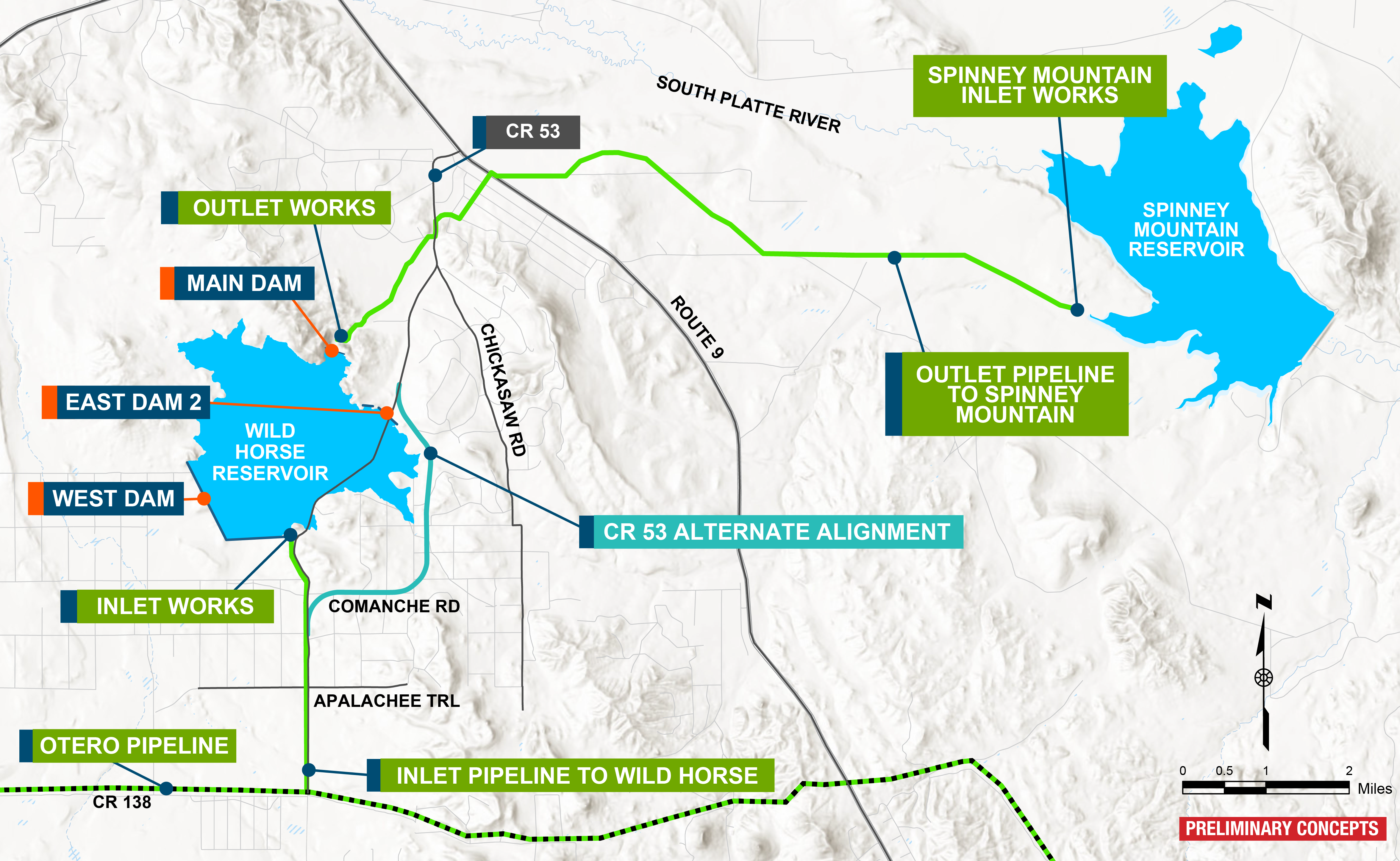
Wild Horse Reservoir Configuration Map

Map overview of Wild Horse Reservoir project alternatives, showing options near Spinney Mountain Reservoir and south of Hartsel. More description of each alternative is explained in the rest of the Permitting webpage copy.

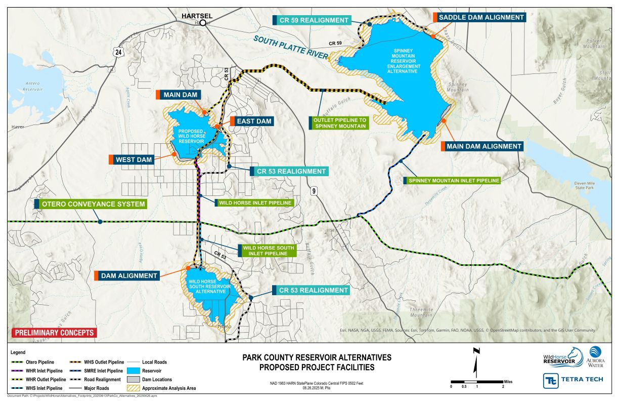
Wild Horse Reservoir Alternatives Map

Map of Denver Basin Aquifer Storage and Recovery Alternative. Twenty-one wells throughout the city of Aurora with pipelines connecting all the wells. A reverse osmosis plant would be just west of the city.

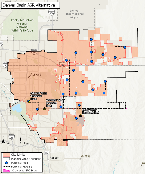
Denver Basin Aquifer Storage and Recovery (ASR) Map

Documents

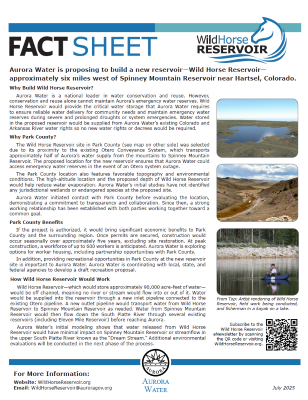
These are the fact sheets for the proposed Wild Horse Reservoir project. Click the document images below to view.

First page of Wild Horse Reservoir fact sheet

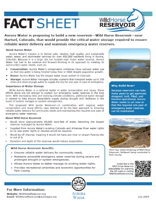
Wild Horse Reservoir – Aurora Fact Sheet

First page of the Wild Horse Reservoir Fact sheet for Park County

Wild Horse Reservoir – Park County Fact Sheet